
How to Search for an Address
How to Work with Layers
How to Perform a Lot and Concession Search
How to Measure Features
FAQ's
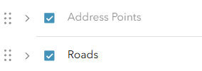
Some layers have scale-dependency, meaning we've set them up to only turn on at a certain scale. This is to avoid the map looking too cluttered. In the example below, Roads ARE visible at this zoom scale, but Address Points are not. When zoomed in closer, the Address Points will turn on.
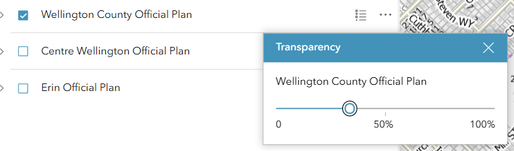
When playing around with the layers, you can sometimes turn on two layers that overlap. There are three dots at the end of each layer entry. Click those and select Transparency. This will allow you adjust layers so you can see what is beneath them.
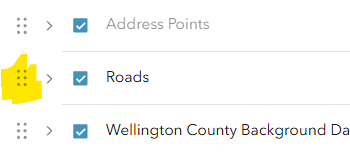
You can also re-order the layers. Click and drag the 6 dots to move the layer to the spot on the layer list that works for you.
You can also simply turn layers on and off with the checkbox next to them.
There are a number of ways to do this. First, you can click on the map. If that feature has been configured to have a "Pop-Up", a little info box will appear with information about that feature. Second, you can view the legend. There are two places to do this. Via the legend icon on the tool bar at the bottom of the application, or by clicking the legend icon next to the layer on the layer list (left-most pane).
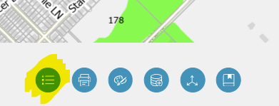
OR
There is a basemap widget in the top left corner of the map. Turn that on and you'll have access to the 2025 Air Photo and other basemap options.
Yes, you can. RIGHT-CLICK and drag your mouse anywhere on the map and the rotation will adjust.
- This will NOT persist after you close the application down.
- Your Print Area will also rotate, so you can't adjust rotation within a print